
Storm Center
Live Sugar Land Weather & Storm Tracker
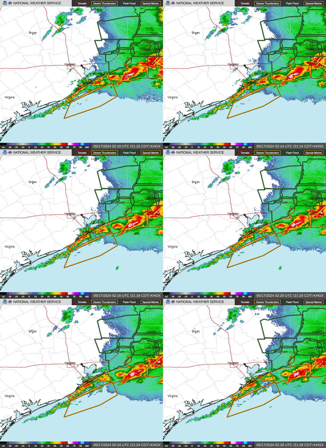
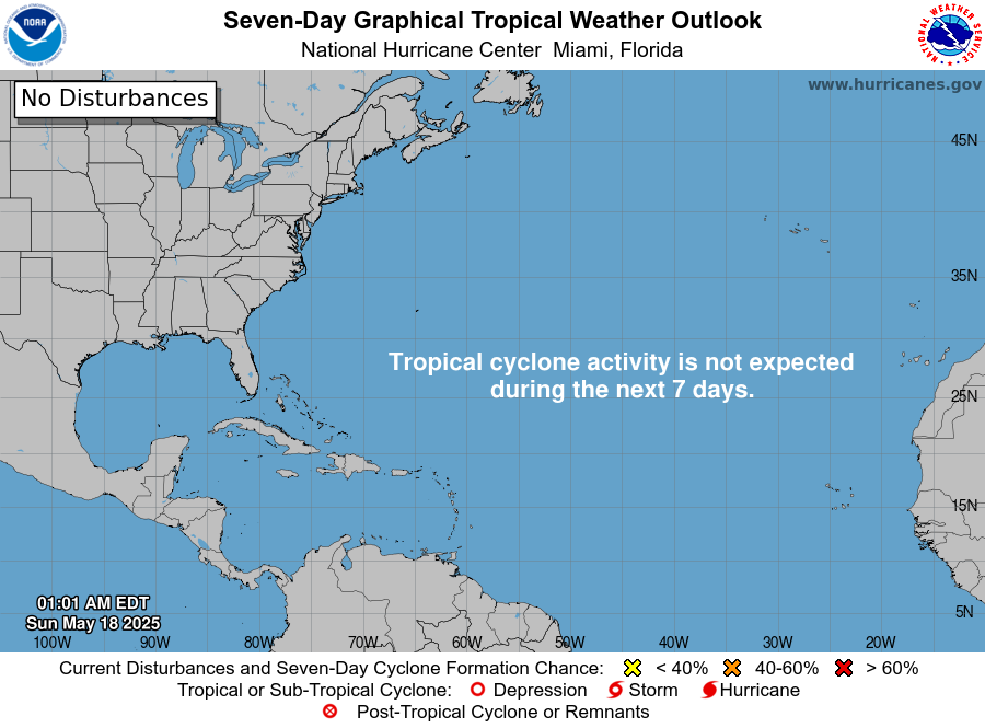
Real-time conditions, National Weather Service alerts, radar, the tropics and the Brazos River—everything Sugar Land and Fort Bend County property owners watch when a storm is coming.
Sugar Land now · Sugar Land Regional Airport (KSGR)
Data: National Weather Service
Active NWS alerts for Sugar Land
Alerts for the Sugar Land area from the NWS Houston/Galveston office. Always follow official instructions from Fort Bend County and the City of Sugar Land.
7-day Sugar Land forecast
Brazos River at Richmond (RMOT2)
-- ft
The Brazos runs along Sugar Land’s southern and western edge. Record crest: 55.19 ft during Hurricane Harvey (Sept. 1, 2017).
NOAA gauge page & forecast hydrographSevere weather outlook (today)

NOAA Storm Prediction Center day-1 outlook for severe thunderstorms, hail and tornadoes.
Weather risks for Sugar Land property owners
Sugar Land sits about 20 miles southwest of downtown Houston and roughly 50 miles inland from the Gulf of Mexico. That location brings four recurring threats to homes and businesses:
- Hurricanes and tropical storms (June–November): wind damage, falling trees and long power outages, as with Ike in 2008 and Beryl in 2024.
- Severe thunderstorms (mostly spring): hail, straight-line winds and isolated tornadoes.
- Flooding: heavy rain on flat terrain, plus Brazos River and Oyster Creek flooding during major events like Harvey in 2017.
- Hard freezes: rare but costly—Winter Storm Uri in February 2021 burst pipes across the city.
Had storm damage? Save the evidence today
The day of the storm is the easiest time to prove what happened. Take screenshots of the alerts and radar on this page, note the time the damage occurred, and photograph everything before cleanup. Then use our after-the-storm checklist, check your deductible, and call a Sugar Land public adjuster for a free review before the insurer’s inspection.
Looking back instead of ahead? See Sugar Land’s storm history.
Storm center FAQ
What is the difference between a watch and a warning?
A watch means conditions are favorable for the hazard—get ready. A warning means the hazard is happening or imminent in your area—act now. Hurricane, tornado, severe thunderstorm and flash flood watches and warnings all follow this rule.
Where does this weather data come from?
Directly from the National Weather Service (Houston/Galveston office and the Sugar Land Regional Airport station), NOAA’s National Hurricane Center and Storm Prediction Center, and the NOAA river gauge on the Brazos River at Richmond. The page refreshes automatically every 10 minutes.
Why should I save weather records after a storm?
Insurers often question whether damage came from a specific storm. Screenshots of alerts, radar and observed wind speeds for your date of loss help tie the damage to that event. Save them the day of the storm.
When is hurricane season in Sugar Land?
The Atlantic hurricane season runs from June 1 through November 30, with the peak from mid-August through September. Severe thunderstorms with hail and damaging winds are most common in spring.
Property damage? The clock is already ticking.
Start with a free consultation and protect your claim before mistakes cost you money.